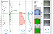
Site Characterization High Resolution Site Characterization

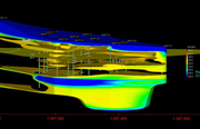
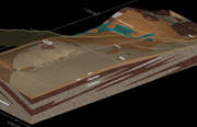
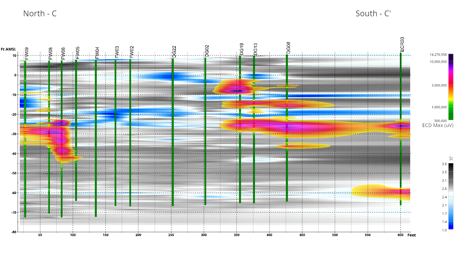
For large, complex, or long-term remediation efforts, the ability to easily visualize decades of data in three- and four-dimensions is an invaluable decision-making tool. This project highlights how historical and current data can be used to develop an understanding of subsurface conditions over time and the effectiveness of past remediation efforts.
READ MORE BY DOWNLOADING THE PROJECT HIGHLIGHT BELOW

